
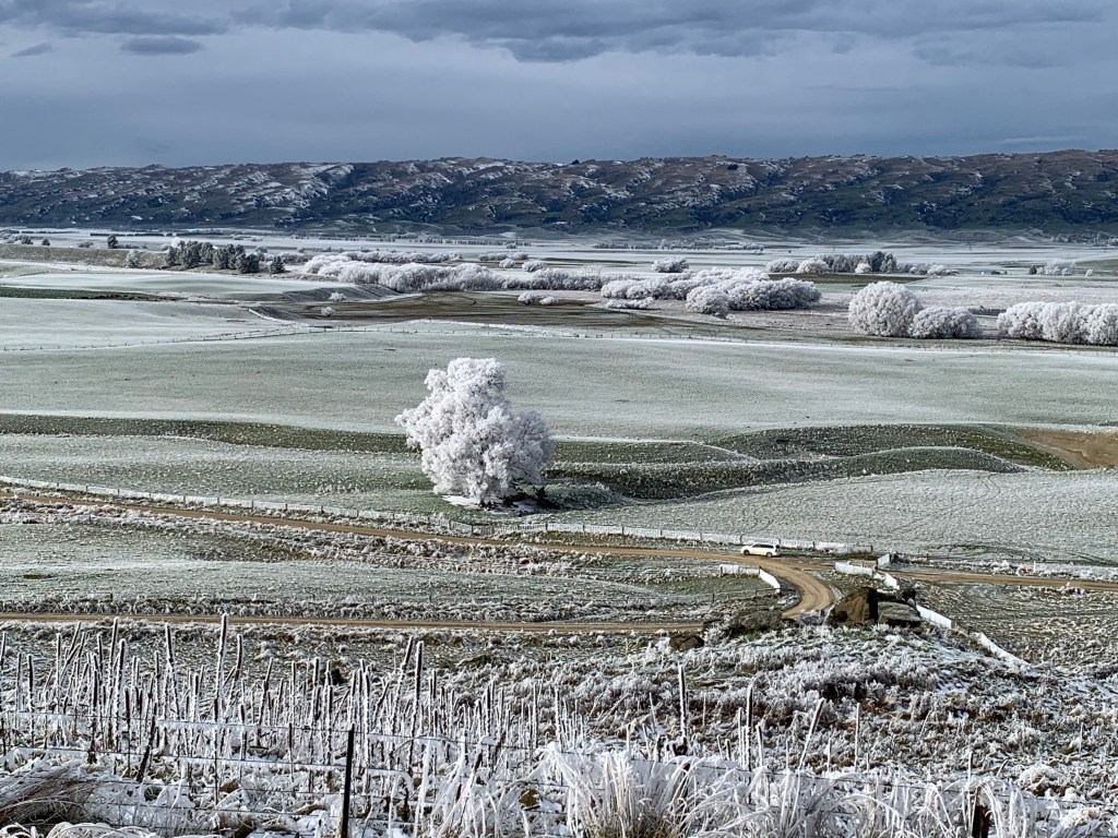
Welcome to the hottest, coldest, driest and least windy place in New Zealand!
Why was it called the “plain of blood”?
What’s the story with all those farmyard names?
Why is a road called the Pigroot?
What’s the story behind the water race?

Why is it called the plain of blood?
The original Māori name for the area is Māniatoto, “plains of blood”, which either referred to the red tussock that covers the landscape or to old battles. Apparently the name got switched to Maniototo possibly due to a large sign with the incorrect spelling installed in the 1920s.
For early Māori, the major valley systems that led into Central Otago made natural pathways. These included the Taieri River, the Dansey’s Pass route, and the Pigroot.
Māori established seasonal campsites (kaika nohoaka) and hunted and fished for food (mahika kai) that they often transported back to coastal settlements. The interior was regarded as a place to regenerate.
The clean fresh air and wide open spaces is still seen as a place of regeneration for many.
What’s with all the farmyard names?
Across the Maniototo, streams and places are sprinkled with simple farmyard names chosen in the late 1850s by John Turnbull Thomson, Otago’s provincial surveyor and New Zealand’s first surveyor general. The Maniototo is sometimes known as `Thomson’s Barnyard’, alluding to the rustic names Thomson gave to local places.
The more interesting legend says he initially chose traditional Māori names but the New Zealand surveying authorities refused as they had trouble pronouncing them. In a huff, he resorted to farmyard names using his Northumbrian dialect. Kyeburn, Wedderburn, Eweburn, Gimmerburn, Hoggetburn.
Why is the road called the Pigroot?
No one really knows of course but there is a legend!
Gold was discovered in a few areas in the 1860s and the Pigroot was the major route of supply. Apparently it was so muddy that the bullock-drawn supply wagons made it look like it had been rooted by pigs.
There’s a monument to the gold mining days on the road overlooking an area called Dead Horse Pinch, so-called because horses that got stuck in the mud couldn’t be rescued and died.
We’re avoiding Dead Horse Pinch for Fools and Horses!
What’s the story behind the water race?
Back around 1871 they realised gold mining at Naseby was requiring a lot more water than Naseby naturally had so some bright spark came up with the idea of constructing a water race from the headwaters of the Manuherikia River 108km away. Construction began 1873 and it was opened 1877.
In the 1920s gold mining was slowing down and the water race was getting a bit decrepit so another bright spark came up with the idea of using it for irrigation and stock water – there’s not a lot of water for farming on the Maniototo! The water race was fixed up, widened so that now it carries about 1.4 m3/s.
Fortunately you don’t have to trot along the entire 108km, only about 12km.
West Eweburn Dam, that you pass at the 10km mark is a reservoir that was built around 1900 to keep the race water topped up during the summer months.
